The Plywood National Park
The sign said Chiricahua National Park in the same letters as every other sign in the system, and from thirty feet it was every other sign in the system. Up close it was a plastic poster in a plywood frame, the kind of thing a park makes do with while the real one is being printed. Four weeks earlier, on October 20, the president had signed H.R. 6380 and the monument had become the country’s 64th national park (House Report 119-543; White House statement). The monument had been a monument since 1924, which is to say the country had been protected on paper for a century before the paper changed its word. The new signs had not arrived. The designation changed the word on the paper and nothing else: the same 12,025 acres, the same boundary, the same rocks (NPS statistics). The patches at the visitor center still said Monument. The contacts page says the new stamps and signs and merch will be available “in the coming months,” which is a sentence I have now read twice, once on a government website and once standing in front of a plywood frame.
We had driven in from Tucson the day before, through Willcox for lunch, and the park had looked like itself from the road: a range rising out of the desert with rocks standing up in it. We had come expecting a finished thing. A new national park sounds like a ribbon and a speech and a sign cast in metal. What we got was a park four weeks into its own name, still wearing the old one on its clothes, and junior ranger booklets at the desk, free to anyone who asked, as if the name on the sign had never changed. The visitor center is the old monument visitor center, built for a different word, and the exhibits inside still explain the rocks the way they always have: ash, crack, erosion, time. Big took his and started right away. Little started hers before we were out of the visitor center. Erika took one too, which surprised nobody who knows her, and the three of them worked the exhibits while the park video ran behind them.
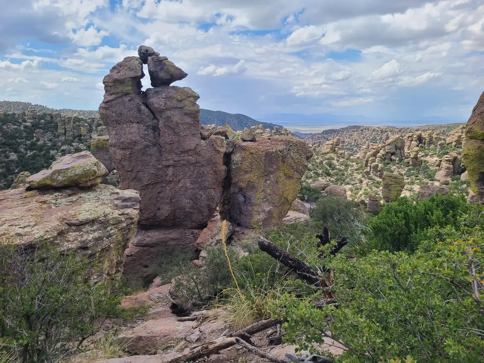
The hoodoos did not need the memo. They are compacted volcanic ash from the Turkey Creek caldera, laid down about 27 million years ago, cracked and eroded into the standing rocks (NPS geology). The eruption that laid the ash down ejected about a thousand times more material than Mount St. Helens in 1980 (NPS Geodiversity Atlas) The caldera that erupted is called Turkey Creek, and the ash it laid down is the rhyolite tuff the trails walk on: every step on the Echo Canyon trail is a step on the eruption. The Apache name for this country, the one House Report 119-543 records, translates as The Land of Standing-Up Rocks (the report). The rocks were standing long before either word, monument or park, was pinned to them. They were standing when the last free bands surrendered in 1886 and the government sent the Chiricahua Apache east as prisoners of war, to Florida and Alabama and then Fort Sill (NPS).
On the Bonita Creek walk the crickets leaped off the path ahead of us the whole way, and we watched birds we could not name, and the not-naming was its own pleasure: and no label anywhere in the country to put on them. On day 2 we turned the booklets in. A ranger checked the pages and swore the three of them in, and Erika raised her hand beside them and took the oath too, because the program is open to any age and she had finished her booklet same as they had (NPS junior ranger). The booklet asks you to find things and write things and watch things, and then to share what you found with a staff person.
At Faraway Ranch the houses were locked and the fireplace was not: sixty stones carved by Buffalo Soldiers in 1886, rebuilt into the Riggs family’s fireplace in the 1920s, readable from the path like a page left open (NPS Garfield monument). That evening we climbed the rocks at Massai Point and watched the sun drop over the hoodoo sea. When we left, we drove out past the plywood sign. From thirty feet it was a national park sign again.
Where this happened: Chiricahua National Park