Mohave (Aha Macave)
A people
Background
The river was the center of existence, with dry farming on the regular overflow of the Colorado irrigating crops along the banks, and traders taking surplus crops to the Pacific Coast and bringing shells back. The Fort Mojave Indian Tribe's own history page gives its people as Pipa Aha Macav, which the Tribe glosses as “The People By The River.” Mojave National Preserve carries that same tribal account, and it describes their country as stretching from Black Canyon to the Picacho Mountains below today's Parker Dam, straddling the Colorado River. It counts the people in three groups: the northern Matha lyathum from Black Canyon to the Mojave Valley, the central Hutto-pah in the central valley, and the southern Kavi lyathum from the Mojave Valley down below Needles Peaks. It records that in the sixteenth century, when the Spanish arrived, the Mojave were the largest concentration of people in the Southwest, and that government ran through a hereditary chief, called the aha macav pina ta’ahon, together with leaders from the three groups, holding office only with their continued support and approval.
Parks on its homelands
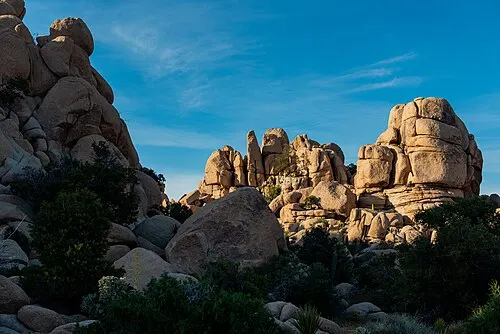
Joshua Tree National ParkThe Aha Macave (Mohave) hold the park as a traditional use area rather than a homeland, and NPS records the desert peoples' long ties to the people on the Colorado River and the Pacific Coast. Artifacts found at archeological sites in the park came from hundreds of miles away. Source
Sources
- https://www.nps.gov/moja/learn/historyculture/mojave-tribe.htm
- https://www.fortmojaveindiantribe.com/about-us/
Checked September 2026.