Lower Brule Sioux Tribe
A nation today
Background
The Act of March 2, 1889 split the Sicangu in two, putting the Rosebud Reservation south of the White River and moving the Lower Brule Reservation north so that its southern boundary sat twenty miles upstream at Fort Lookout, an area of 446,500 acres. The Tribe gives its traditional name as Kul Wicasa Oyate. Representatives of the two Sicangu bands, the Kul Wicasa Oyate and the Heyata Wicasa, or Upper Brule Tribe, were among the Lakota present at the 1825 Fort Lookout Treaty. It describes the Sicangu as centred on the White River, from its mouth to the margins of the Black Hills. The Act of March 3, 1899 reduced that acreage by 120,000, and the Act of April 21, 1906 ceded 56,560 acres of grazing land in Stanley County. Most of that land is now part of the Fort Pierre National Grassland.
Parks on its homelands
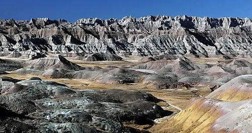
Badlands National ParkThe Lower Brule Sioux Tribe says its homeland has no formal boundaries, and that the Sicangu centered their territory on the White River from its mouth to the margins of the Black Hills. Source
Sources
- https://www.govinfo.gov/content/pkg/FR-2026-01-30/html/2026-01899.htm
- https://www.lowerbrulesiouxtribe.com/lower-brule-territory
Checked September 2026.