Photo cards, one fact each. Big and Little made them.
Card 1 of 8
Photo by NPS · public domain
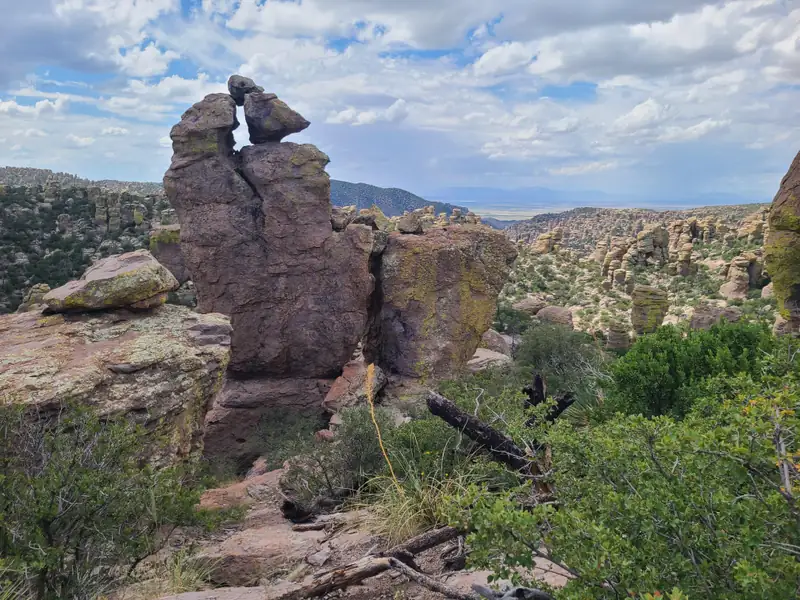
The hoodoos are compacted volcanic ash from the Turkey Creek caldera, about 27 million years old. The ash cracked and eroded into the standing rocks.
Photo by w_lemay / Wikimedia Commons · CC BY-SA 2.0
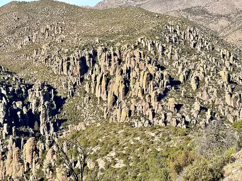
Chiricahua is a sky island: desert below, and a different world of oak, pine, and fir on top. NPS says the elevation change gives animals five biomes to use.
Photo by SonoranDesertNPS / Wikimedia Commons · CC BY 2.0
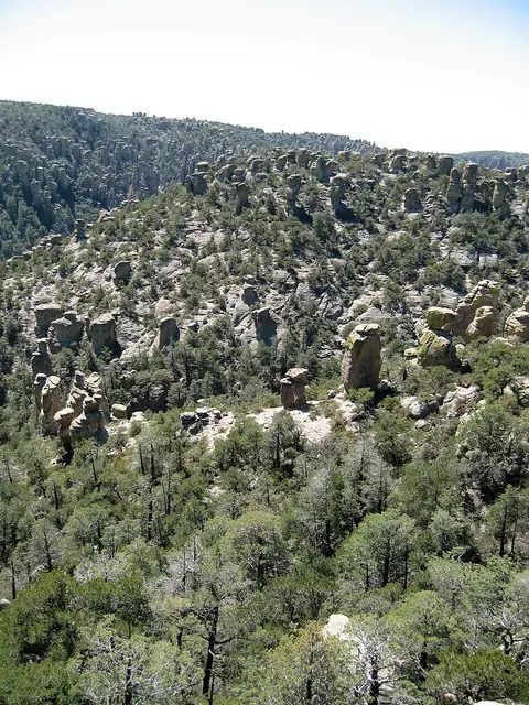
The Apache name for this country translates as The Land of Standing-Up Rocks. The Chiricahua Apache are named for these mountains, their homeland.
Photo by NPS · public domain
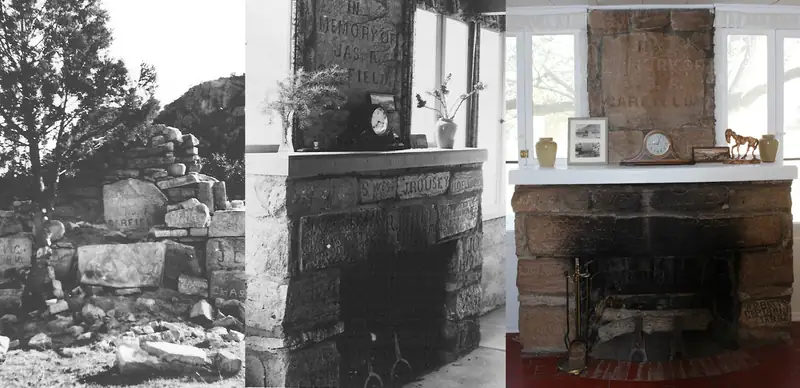
Buffalo Soldiers of Troops E and H, 10th Cavalry, carved an 1886 monument to President Garfield at Camp Bonita. The Riggs family rebuilt its 60 stones into the Faraway Ranch fireplace in the 1920s.
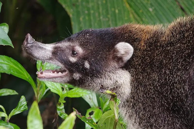
Photo by Hobbyfotowiki / Wikimedia Commons · CC0
The white-nosed coati is a raccoon cousin that chose daylight. Bands of females and young forage through the campground in fall and winter, tails up, snouts down.
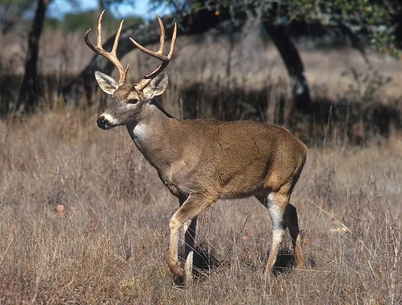
Photo by Scott Bauer / USDA · public domain
The deer on the scenic drive is the Coues white-tailed deer, a small desert-adapted subspecies. NPS calls it very common, and the does wait until summer green-up to give birth.
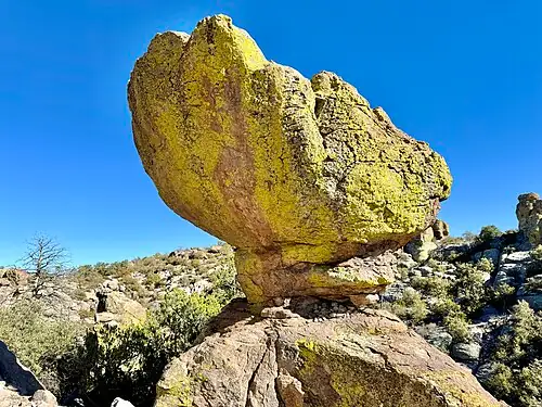
Photo by w_lemay / Wikimedia Commons · CC BY-SA 2.0
Echo Canyon drops about 200 feet in half a mile to balancing rocks and the tunnel-like Grotto. The trail is an in-and-out with many options to go longer.
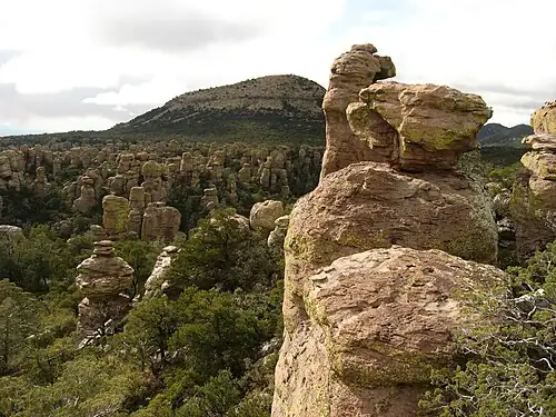
Photo by Ken Lund / Wikimedia Commons · CC BY-SA 2.0
Massai Point is the end of the 8-mile scenic drive: hoodoos below, desert valleys beyond, and a 0.5-mile nature trail around the overlook.