Photo cards, one fact each. Big and Little made them.
Card 1 of 5
Photo: G. Lamar / Wikimedia Commons (CC BY 2.0)
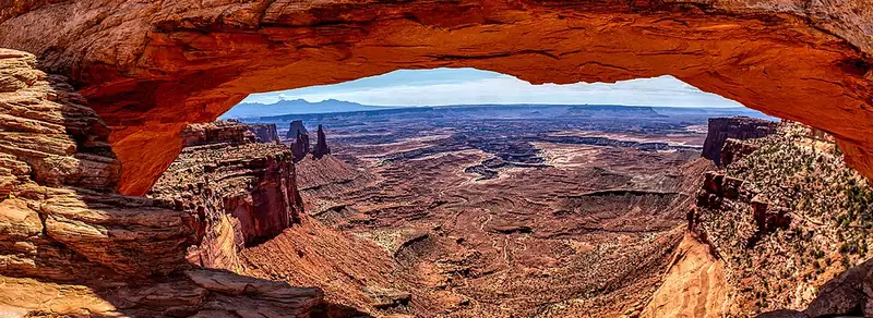
Mesa Arch is a 0.6-mile loop on the rim of Island in the Sky. The arch is 27 feet long and frames the drop to the White Rim and the La Sal Mountains. People come at sunrise, and the arch sits at a cliff edge, so keep a hand on small hikers.
Photo: G. Edward Johnson / Wikimedia Commons (CC BY 4.0)
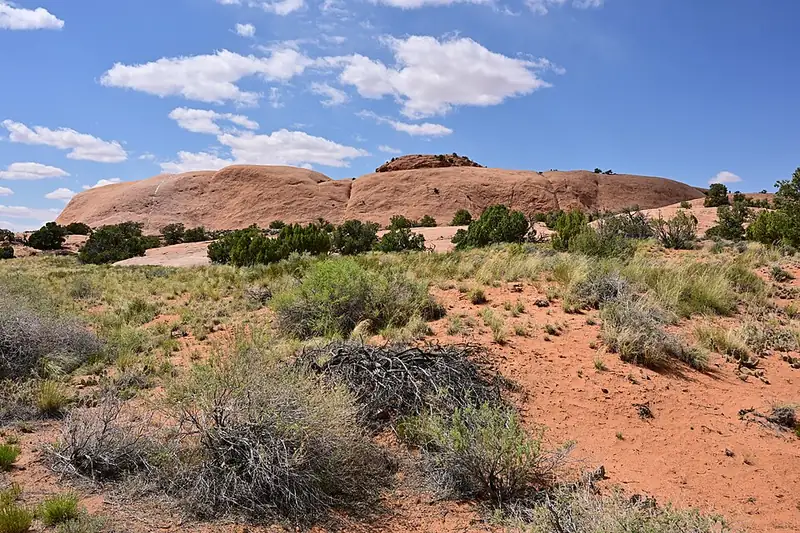
Whale Rock is a sandstone dome in Island in the Sky. The trail is 0.8 mile round trip and climbs 141 feet from the tail to the blowhole. NPS calls it a moderate mesa-top scramble and asks for good traction and care near the steep drop-offs.
Photo: Chris Wonderly, National Park Service / Wikimedia Commons (public domain)
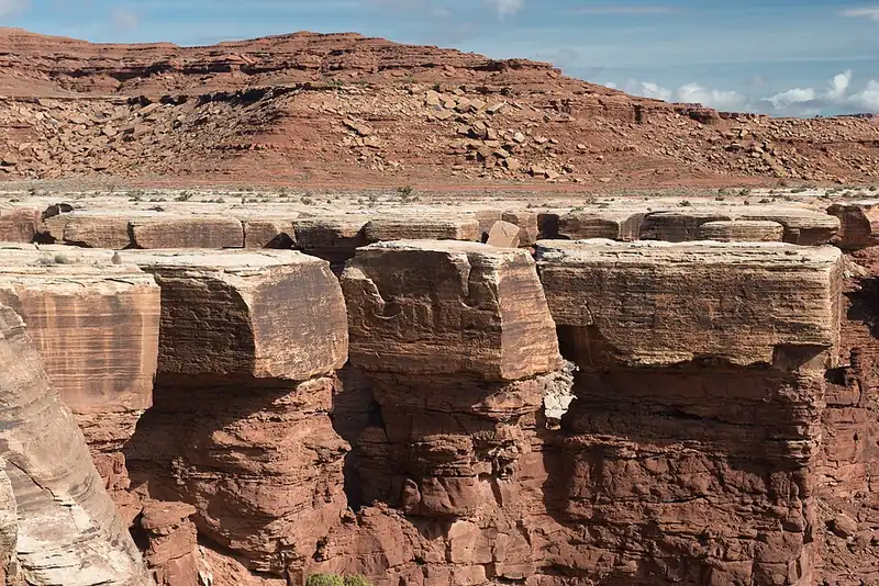
The White Rim is a pale sandstone bench about 1,200 feet below the Island in the Sky, with the rivers another 1,000 feet below that. A 100-mile dirt road loops the bench. Day use and overnight both need a permit, and overnight permits should be reserved well in advance.
Photo: Chris Wonderly, National Park Service / Wikimedia Commons (public domain)
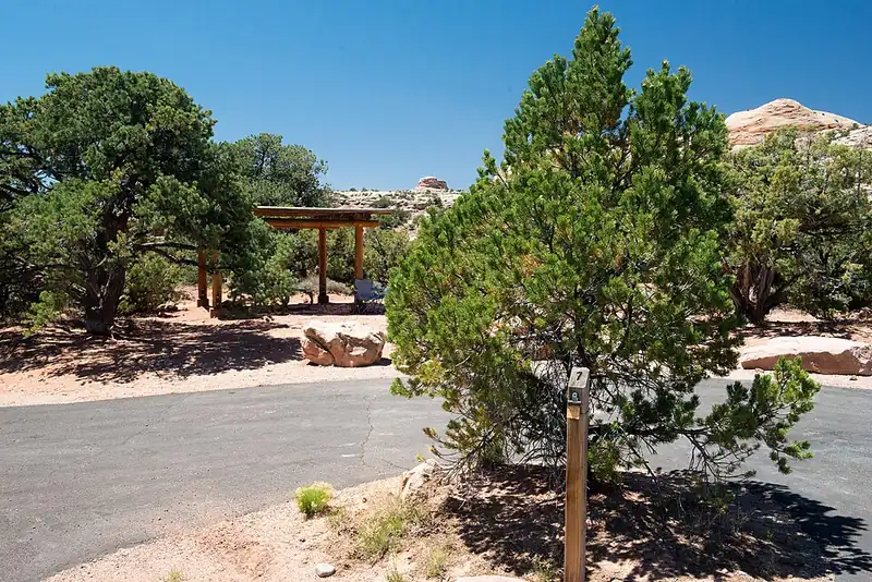
Willow Flat has 12 first-come campsites in Island in the Sky. There are no reservations and no water. It fills quickly spring through fall, and it sits near Green River Overlook, which makes it a good base for a sunset or a Mesa Arch sunrise.
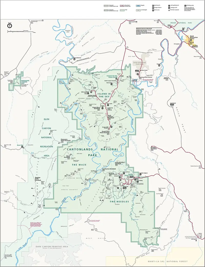
Map: National Park Service, Harpers Ferry Center / Wikimedia Commons (public domain)
Canyonlands is four districts: Island in the Sky, The Needles, The Maze, and the rivers. There is no road between them. Island in the Sky is the easiest for a short visit because the big views are short walks from the car, while The Needles takes a second day and a 90-minute drive each way.